MicroSims
Every chapter has one interactive simulation. They work on phones and computers, need no login, and save nothing about you. Click a picture to open the sim.
-
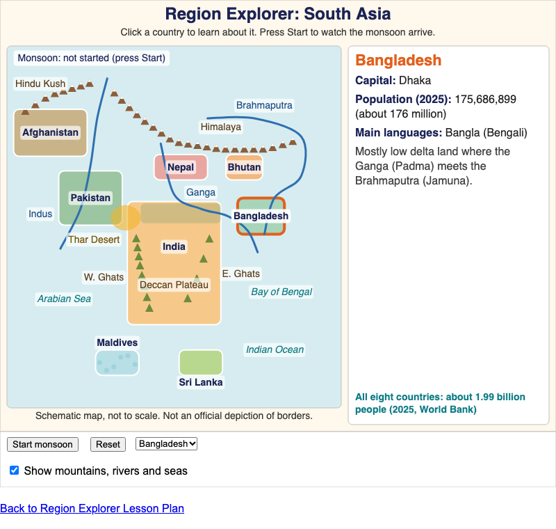
A schematic tile map of the eight countries of South Asia, with mountains, rivers, seas and an animated southwest monsoon.
Chapter 1: What Is South Asia?
-
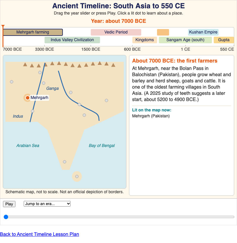
A scrubbable timeline of South Asia from about 7000 BCE to 550 CE, linked to a schematic map of eleven ancient places.
Chapter 2: Ancient Roots
-
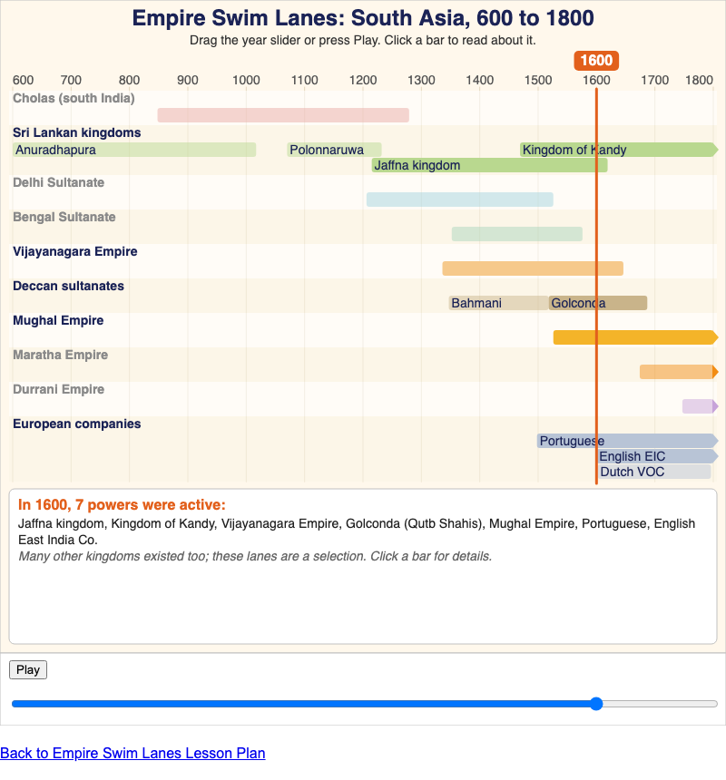
A swim-lane timeline of ten South Asian powers from 600 to 1800 CE, with a moving year line that shows which powers existed at the same time.
Chapter 3: Empires and Encounters
-
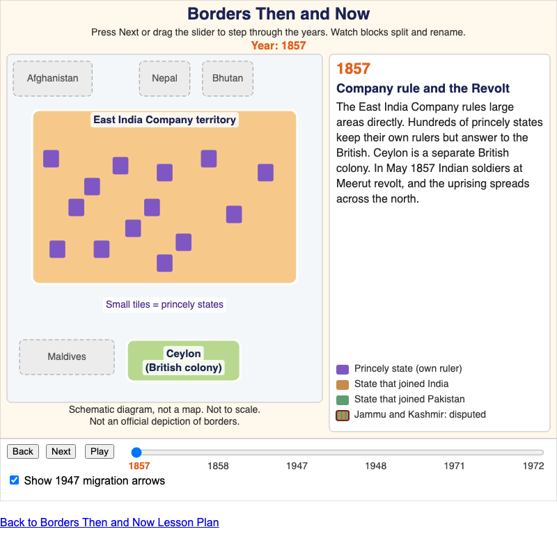
A schematic block diagram showing how British India, the princely states and Ceylon became India, Pakistan, Bangladesh and Sri Lanka between 1857 and 1972.
Chapter 4: Colonialism, Independence, and Partition
-
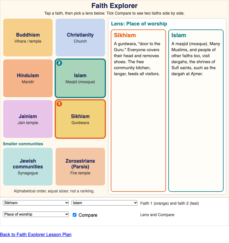
Compare eight South Asian faith traditions through the same five lenses (origins, sacred texts, place of worship, a major festival, a core idea) without ranking them.
Chapter 5: Faiths of South Asia
-
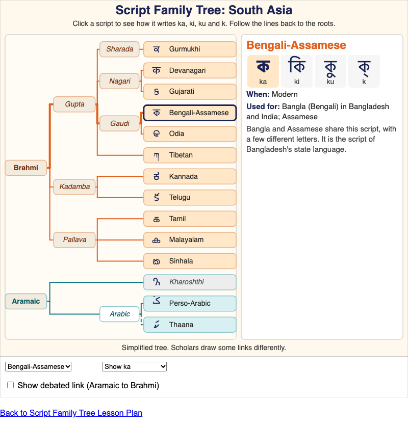
A simplified family tree of South Asian scripts, from Brahmi and Aramaic to the scripts used today, showing how each one writes ka, ki, ku and k.
Chapter 6: Languages and Scripts
-
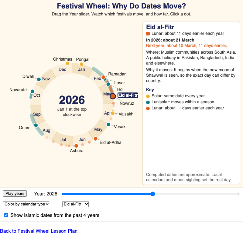
A 12-month calendar wheel of South Asian festivals that shows why solar, lunisolar and lunar festival dates move in different ways.
Chapter 7: Festivals Through the Year
-
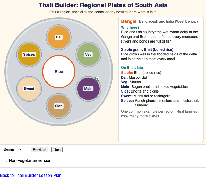
Compare the thalis of seven South Asian regions and connect each plate's grain, dal, vegetables, main dish, sweet and spices to climate, crops and trade.
Chapter 8: Food and the Table
-
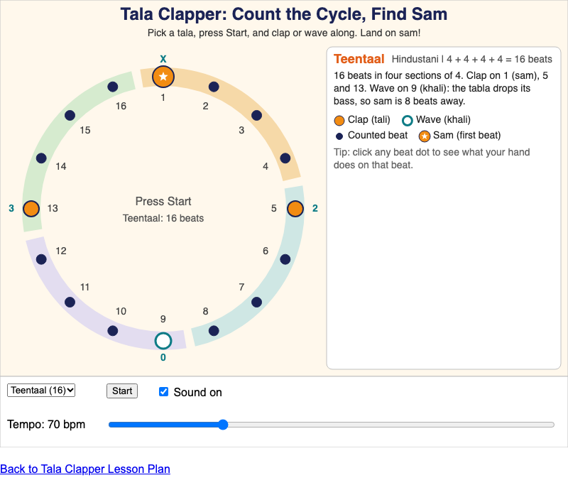
Count a full cycle of Teentaal, Rupak, Dadra or the Carnatic Adi tala, follow the claps, waves and finger counts, and land on sam.
Chapter 9: Music
-
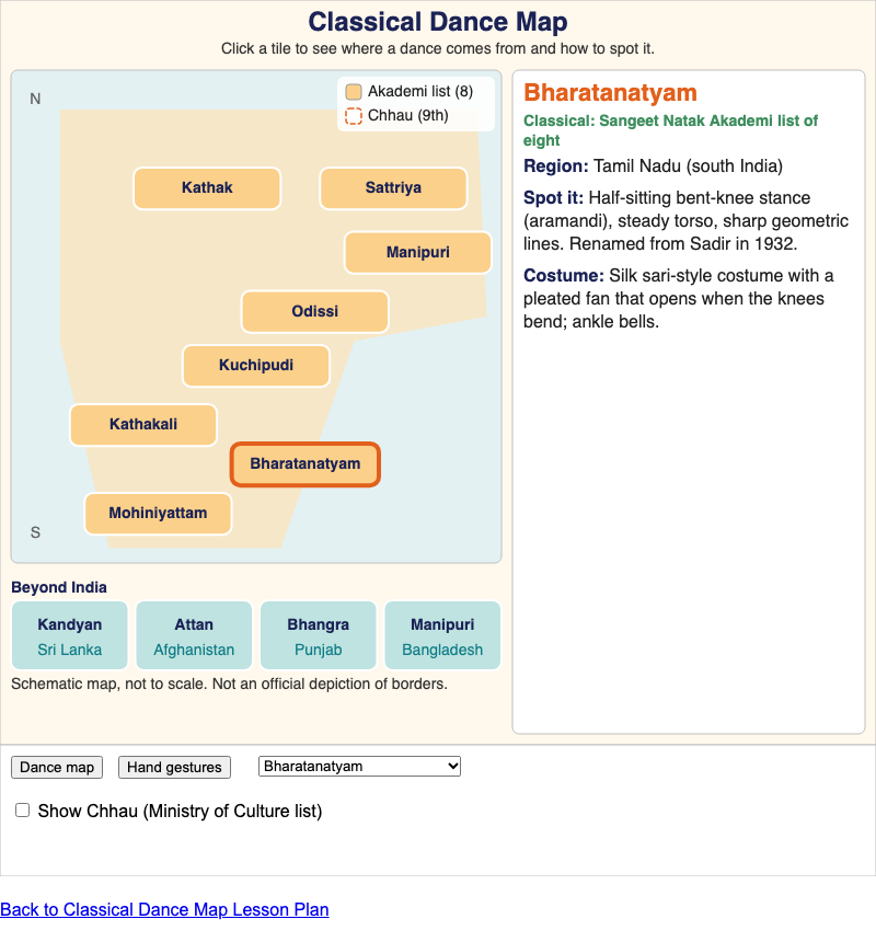
A schematic tile map of the eight classical dances recognized by India's Sangeet Natak Akademi, dances beyond India, and six basic hand gestures (mudras).
Chapter 10: Dance and Theater
-
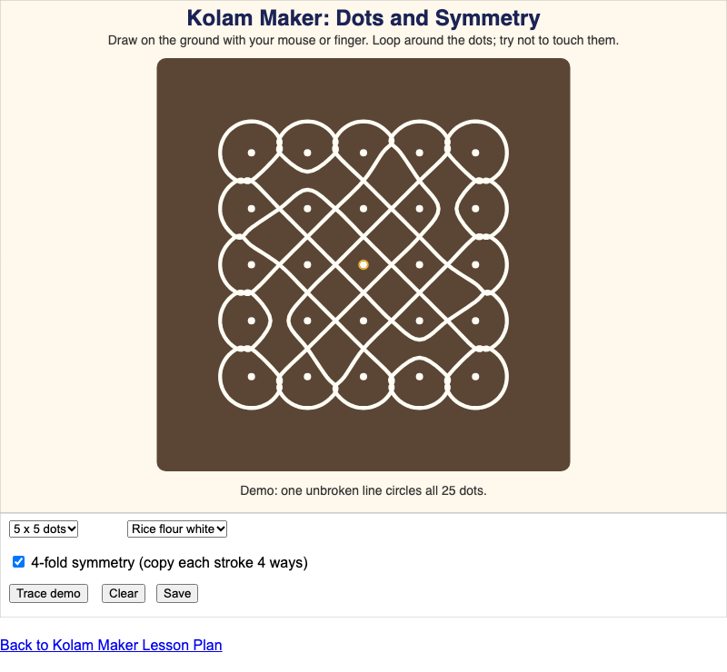
Draw your own kolam on a grid of dots, with 4-fold rotational symmetry, and watch a pulli kolam demo trace one line around every dot.
Chapter 11: Art, Architecture, and Craft
-
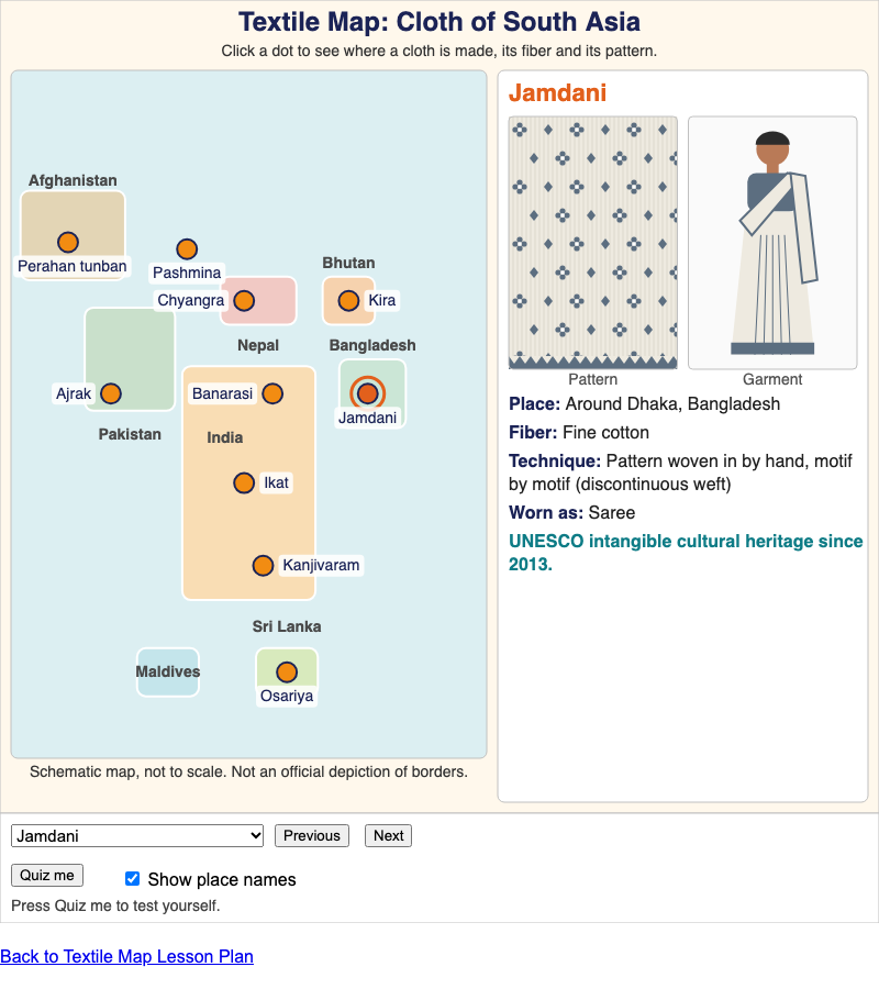
A schematic tile map of South Asia with ten famous textiles and garments, each with its place, fiber, technique, a garment drawing and a pattern swatch.
Chapter 12: Clothing and Textiles
-
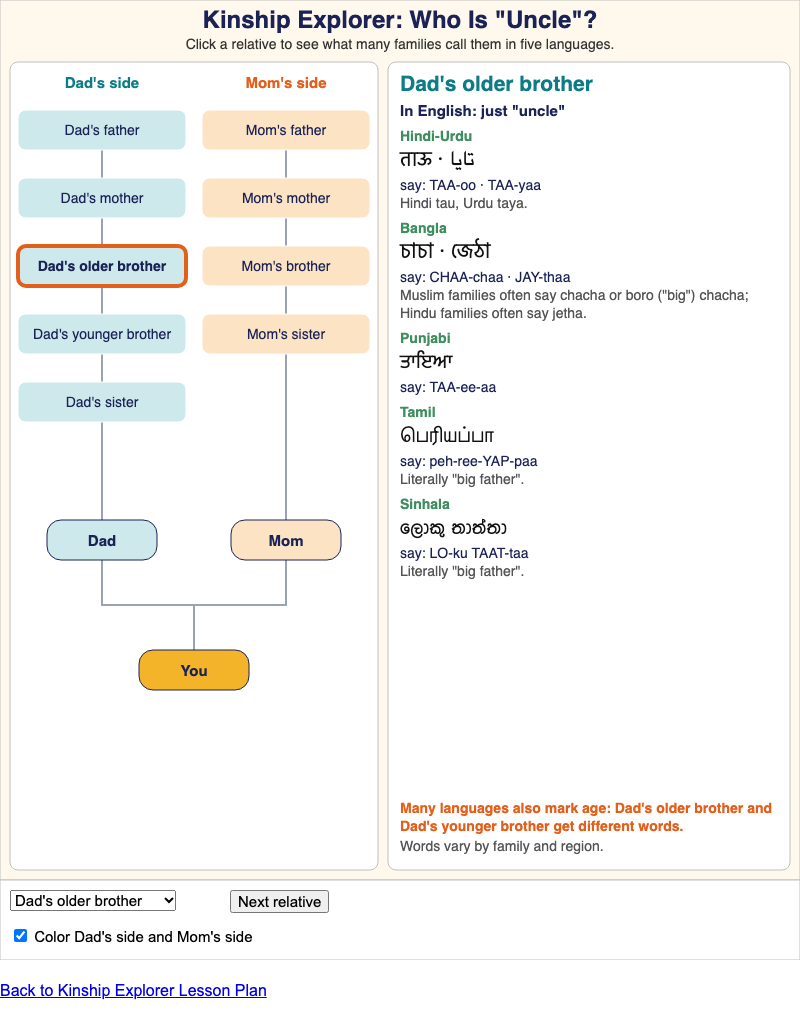
A family tree centered on You that shows what many families call each relative in Hindi-Urdu, Bangla, Punjabi, Tamil and Sinhala, compared with the single English word.
Chapter 13: Family, Names, and Life Events
-
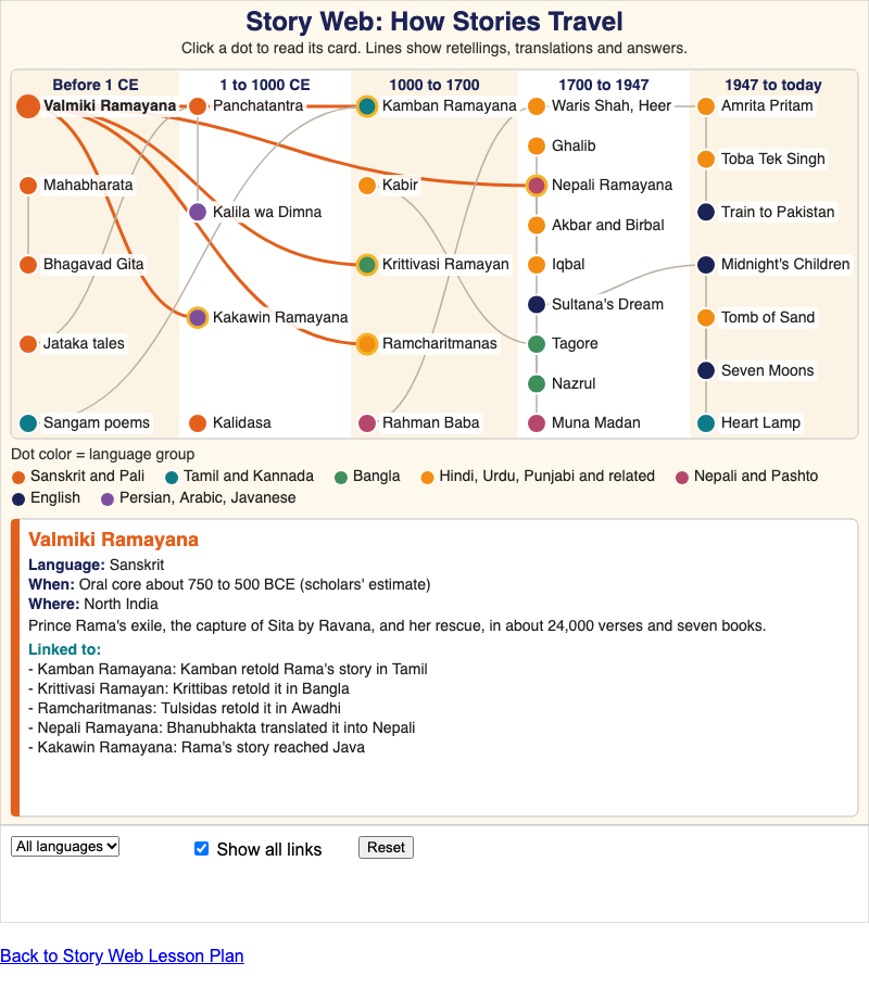
A timeline network of about thirty South Asian works and writers, colored by language, showing how stories travel across languages, faiths and borders.
Chapter 14: Stories and Literature
-
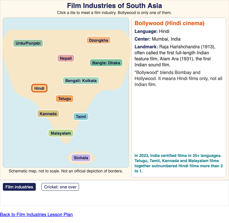
Film Industries Map and Cricket Basics
A schematic tile map of eleven language-based film industries across South Asia, plus an animated cricket over showing 6 legal balls and how runs add up.
Chapter 15: Cinema, Cricket, and Pop Culture
-
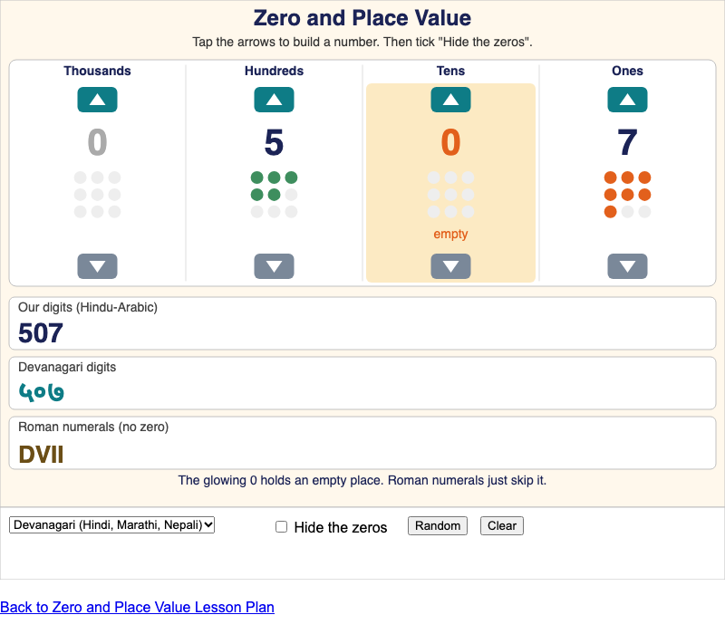
Build a number and see it as a place value table, in South Asian digits and in Roman numerals, then hide the zeros to see why zero matters.
Chapter 16: Science, Math, and Ideas
-
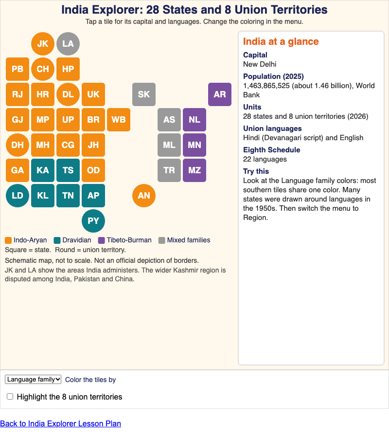
A tile cartogram of India's 28 states and 8 union territories, colored by language family or region, with each place's capital and official languages.
Chapter 17: India
-
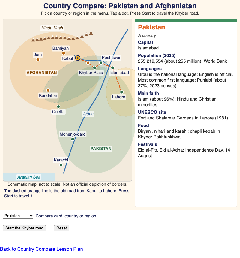
A schematic map and comparison card for Pakistan and Afghanistan, plus two cultural regions that cross the border, with an animated trip along the Khyber road.
Chapter 18: Pakistan and Afghanistan
-
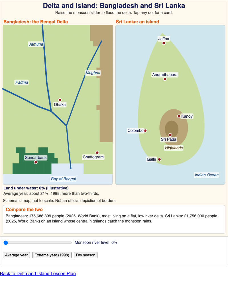
A schematic Bengal Delta with a monsoon flood slider beside a stylized island of Sri Lanka with its highlands and key places, to show how geography shapes life in each country.
Chapter 19: Bangladesh and Sri Lanka
-
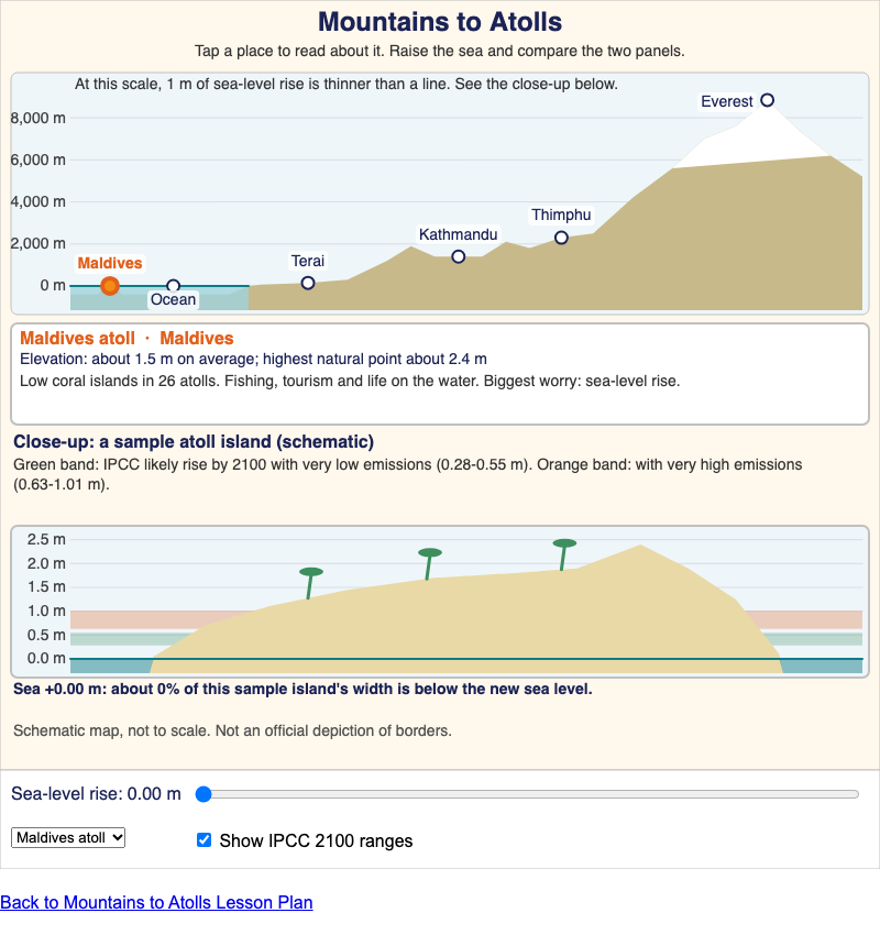
A schematic elevation staircase from a Maldives coral atoll to Mount Everest, with a sea-level slider that shows why under a meter of rise matters to low islands.
Chapter 20: Nepal, Bhutan, and the Maldives
-
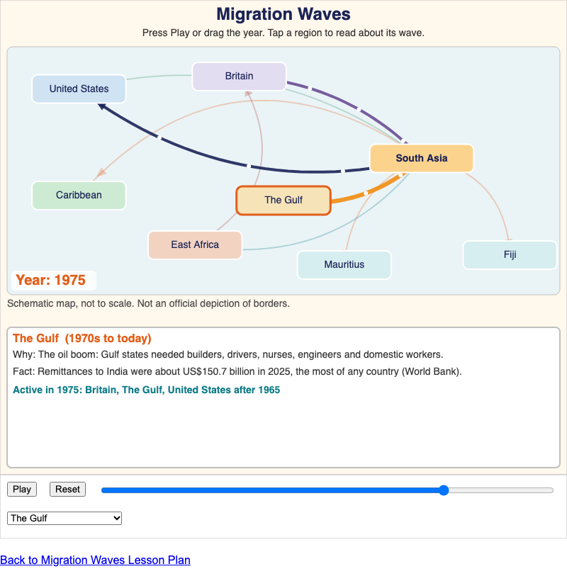
A schematic diagram of labeled region tiles showing the major waves of South Asian migration from 1830 to 2020, with the cause and one sourced fact for each.
Chapter 21: The South Asian Diaspora
-

Build and print an ethical oral history interview plan, with a consent script, theme questions, follow-up prompts and a note-taking grid, for any chapter of Roots & Rivers.
Chapter 22: Bring It Home
You can also explore the Learning Graph Viewer, a map of all 368 concepts in the book.